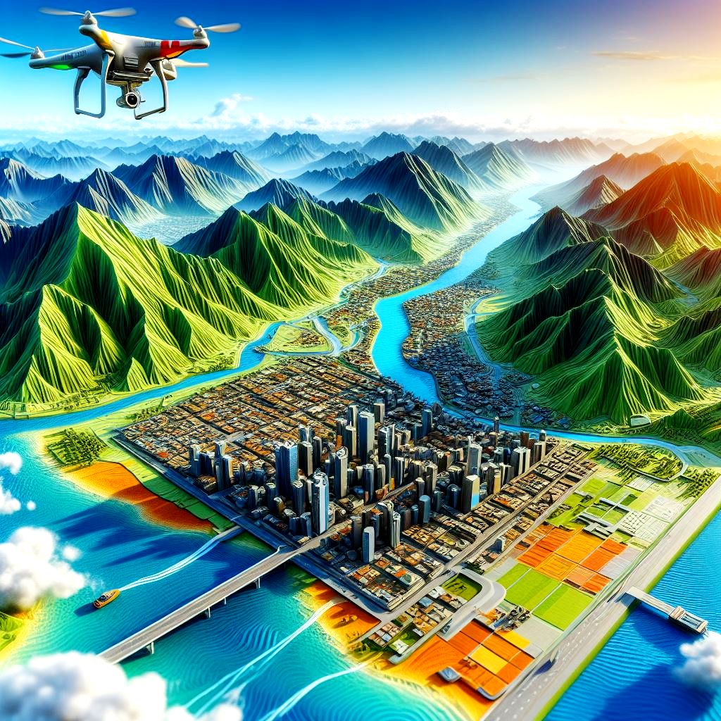
📷 Photogrammetry VS LiDAR:
Which Wins in the World of 3D Mapping?
When it comes to 3D mapping and spatial data acquisition, two heavyweights battle it out: photogrammetry and LiDAR. Let’s break down their strengths and applications to see who comes out on top!
📷 Photogrammetry: Capturing the World with Cameras
📸 Principle: Photogrammetry relies on photographs to create 3D models.
🏞️ Applications: Ideal for mapping landscapes, urban planning, and cultural heritage preservation.
💡 Advantages: Cost-effective, accessible, and can be achieved with standard cameras.
📡 LiDAR: Scanning with Laser Precision
🌐 Principle: LiDAR employs laser beams to measure distances and create detailed 3D point clouds.
🚗 Applications: Perfect for autonomous vehicles, forestry management, and precision agriculture.
🌪️ Advantages: Highly accurate, works in various conditions, and offers real-time data.
🧐 Photogrammetry: If you need cost-effective 3D models for urban planning or historical preservation, photogrammetry is your go-to.
🤖 LiDAR: For tasks requiring high precision and real-time data, like autonomous vehicles or forest analysis, LiDAR shines.
💬 Join the Discussion
Are you Team Photogrammetry or Team LiDAR? Share your experiences and insights in the comments. Let’s explore how these technologies are shaping the world of 3D mapping together! 🌍📡
Image credit: S. Hassan Alavi
Data credit for creating image: SurveyTransfer
hashtag#Photogrammetry hashtag#LiDAR hashtag#3DMapping hashtag#Technology hashtag#GIS
hashtag#SpatialData hashtag#Innovation